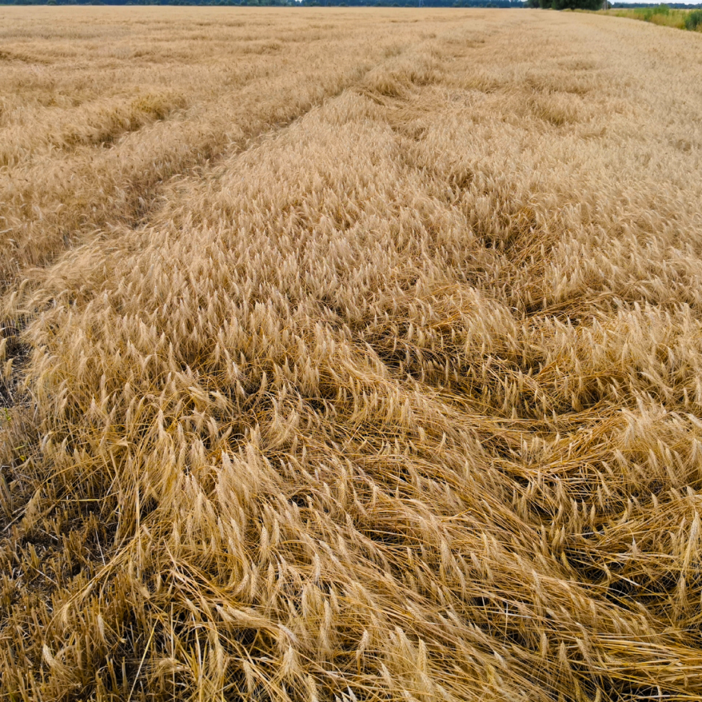
Verified methodology
Precise calculation of crop damage area according to the plant lodging degree is protected by Utility model named „Method of identifying and displaying areas of lodged crops field“.
Client input
The client submits the following data as input for the calculation of crop lodging:
- Orthomosaic (format: “tif”)
- Digital Surface Model (DSM, format: “tif”)
- Digital Terrain Model (DTM, format: “tif”)
- Coordinate reference system for layers
- Type of plants
- The average height of a healthy cob in units of meters
- Measurement Date
Client output
The client will receive the following data from us: